http://www.wunderground.com/tropical/Jelawat is S of Hong Kong, sustained 45mph winds, predicting 65 mph.
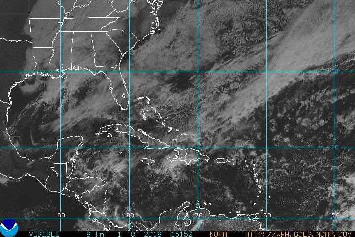
http://www.wunderground.com/blog/JeffMasters/comment.html?entrynum=393&tstamp=200606 Satellite and radar data from the past few hours indicate that a tropical depression may be forming about 140 miles south of Cape Fear, North Carolina. This system is moving north to north-northeast at 15-20 mph, and will bring high winds and heavy rain to coastal North Carolina late this afternoon and tonight. Tropical storm warnings may be issued for portions of the North Carolina coast early this afternoon, after the Hurricane Hunters have had a chance to check out the system. An airplane is scheduled to arrive at the storm around noon EDT today.
Here's the special advisory put out by NHC at 7:30am EDT:
Special tropical disturbance statement
730 am EDT Tue Jun 27 2006
Satellite and radar information indicate that a small low pressure system could be forming about 140 miles south of Cape Fear North Carolina. This system has the potential to develop into a tropical depression at any time as it moves north to north-northeastward at 15 to 20 mph. An Air Force Reserve reconnaisance aircraft will investigate the system later this morning to determine if a closed circulation exists at the surface.
Residents along the North Carolina coast should closely monitor the progress of this system today as tropical storm warnings could be required with little notice. Even if this system does not form into a tropical cyclone... showers and thunderstorms accompanied by locally heavy rainfall and strong gusty winds will gradually spread onshore the North Carolina coast today and early tonight.
The Long range radar loop out of Wilmington, NC shows an extensive area of heavy rain off the coast, and some spiral banding starting to form. Wind shear is low, the waters beneath are warm, and conditions appear favorable for a tropical depression to form. The system only has about 6-10 hours over water before it comes ashore, so it is unlikely we will get more than a 45 mph tropical storm. Heavy rain will be the main threat from this system, and regions of coastal North Carolina near and to the right of where the center comes ashore can expect 4-6 inches of rain over the next day. Coastal Virginia and Maryland should see rains of at least 1-3 inches from this system on Wednesday, but the bulk of the rain should stay east of Washington D.C., which has suffered extensive flooding the past few days.
