http://www.marconews.com/news/2010/may/07/weekend-research-may-help-show-if-when-oil-spill-m/ The technological eyes keeping track of the oil slick that has been sloshing around the northern Gulf of Mexico might not be 20/20, scientists say.
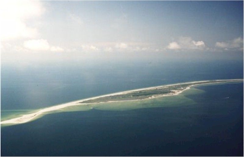
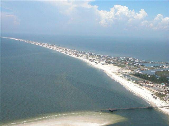
The ooze has washed onto a chain of islands off Louisiana and has come perilously close to getting caught up in the mighty Loop Current that could carry the mess southward, some 200 miles offshore of Naples, before skirting the Florida Keys and pushing up the East Coast.
But scientists say they are worried that disaster also could be spreading below the Gulf surface and out of the view of spill trackers.
�We don�t know whether there is a big subsurface plume lying out there waiting to get entrained (in the Loop Current),� University of Miami oceanographer Nick Shay said. �That�s a big question. We just don�t know.�
-snip-
A NOAA Hurricane Hunter aircraft, which usually flies into the monster storms to collect data, is scheduled today to drop temperature probes into the slick to see whether it has found its way into warm eddies that swirl off the Loop Current.
The exploratory flyovers from MacDill Air Force Base in Tampa could be a run-up to further Hurricane Hunter flights that would drop more elaborate probes into the slick to draw a sort of subsurface oil map, said Shay, who is setting up the flights.
Another NOAA turbo-prop plane from Mobile, Ala., will fly over the spill to provide information about the thickness and density of the oil at the surface.
-snip-
For example, the Loop Current runs as deep as 3,000 feet and would carry deeper oil more slowly than at the surface, oceanographers say.
-snip-
If the oil is deep enough, it could encounter a sort of speed bump along the Loop Current. As the current emerges from the Gulf and makes a turn into the Florida Straits, it moves over a sill that is shallower than the Gulf. Oil deeper than the sill might have a hard time getting over the hump, Ortner said.
�It could be there for years at great depth,� he said.
There�s plenty to worry about back at the surface, too.
-snip-
The Loop Current isn�t completely predictable though, shaking off eddies and growing tendrils, University of South Florida oceanographer Robert Weisberg said.
�The oil doesn�t have to go to the Loop Current, the Loop Current can go to the oil,� Weisberg said.
That appeared to be exactly what happened earlier this week when an arm of the Loop Current came within about 20 miles of the spill but missed grabbing hold, he said.
On Friday, another spill watcher reported that a water-oil mixture is caught up in a clockwise eddy between Louisiana and the Loop Current.
That action is pulling the spill to the southwest and out of the Loop Current, according to Roffer�s Ocean Fishing Forecasting Service, in Melbourne.
But, according to Roffer�s analysis, an eddy on the northwestern side of the Loop Current is moving north and could pull the slick toward the current.
-snip-
�If we have a hurricane, all bets are off,� Weisberg said.
-snip-
Besides the continental shelf, Southwest Florida has a sort of double insurance policy some call the Forbidden Zone.
It was discovered in the late 1990s as part of a study funded by the U.S. Minerals Management Service to assess the risk of an oil spill in the Gulf.
Scientists dropped more than 340 drifters into nearshore waters and tracked them for a year to see where they would go.
The drifters went all over the place, but they didn�t venture into an area offshore of Southwest Florida.
-snip-
-----------------------------